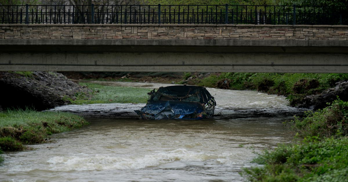
As Nashville braces for more severe weather through the weekend, those with homes in a floodplain face the highest risk of dangerous flooding.
Not sure if that’s you?
If you live in Davidson County, it’s easy to check on the Nashville.gov parcel viewer. Under map layers, select “FEMA Flood Hazard Areas.” Then you can enter your address.
To check whether your parcel was affected during the 2010 Nashville flood, visit maps.nashville.gov/May2010Flood/.
To view FEMA flood maps for around the country, visit https://www.fema.gov/flood-maps/national-flood-hazard-layer.
Live updates: Middle Tennessee to see more rounds of storms
Mayor Freddie O’Connell is encouraging Nashvillians to remain vigilant for signs of dangerous flooding.
The mayor’s office shared a video message Thursday about preparedness for a second night of severe thunderstorms and potential tornadoes in Davidson County.
Nashville could get 6 inches or more of rain through the weekend, while Clarksville could get 10.
“Right now, our rivers and streams are manageable,” O’Connell said. “But the smaller the stream, the larger the risk.”
This article originally appeared on Nashville Tennessean: Nashville flood zones: How to check flooding risk near your home