PORTLAND, Ore. (KATU) — Storm Tracker 2 Meteorologist Dave Salesky breaks down today’s forecast:
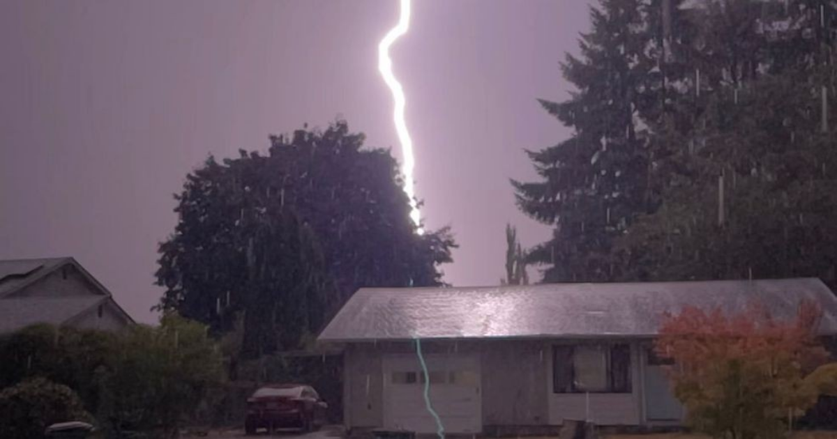
“Let’s chat. This morning was truly calm before the storm. The Pacific Northwest, the last couple of days, has basked under sunny skies and record-breaking warmth. That’s all going to come crashing to an end by this afternoon. A storm brewing off the coast will sweep ashore, bringing much cooler air and a high probability of strong, possibly SEVERE THUNDERSTORMS.
I’m not being hyperbolic when I say this is something you’d see in Kansas or Oklahoma, not the PNW. The clash of air masses will result in periods of heavy rain, thunder, lightning, and hail. Dime to quarter-sized hail possible. Under some severe cells, golf ball-sized hail is possible (let’s hope not).
The NWS Storm Prediction Center (SPC) believes our part of the world will have the most active weather in the country today. While small SPC believes a 5% chance funnel clouds are also possible (again, let’s hope not). Not to get too far into the minutiae, meteorologists measure CAPE (Convective Available Potential Energy) as a way to measure the available energy storms can use. 1,000 to 2,000 joules/kilogram will produce a good thunderstorm. We’re seeing 1,500 to 2,500 CAPE.
Now the Bottomline. Much like when we forecast for winter snow or ice storms, you need to have a plan. Make sure lawn furniture and BBQs are put away. Plan for power outages, downed trees, limbs, and flying debris. Roads could become slippery from hail and briefly flooded from heavy rain. Timeline for storms is 3 p.m. to 10 p.m. Cooler, but continued wet weather through the end of the week. As I said in an earlier post, quoting Bette Davis, “fasten your seatbelt, it’s gonna be a bumpy night.”
Dave will have the latest on KATU News at 4, 5, 6, and 11 p.m. The latest Storm Tracker Forecast is always available at our weather section here at KATU.com.

