A tornado outbreak may target the Upper Midwest, with the greatest risk of strong and possible long-track tornadoes in parts of Iowa, Minnesota and Wisconsin.
The Storm Prediction Center has placed that area under a moderate (Level 4 of 5) severe weather risk. Monday is probably the peak of this event, but a concerning storm risk shifts eastward Tuesday. Cities in the highest risk for tornadoes include Minneapolis and Rochester in Minnesota and La Crosse in Wisconsin; Des Moines is also within a heightened risk zone for strong twisters, which are tornadoes rated EF2 or higher on the Enhanced Fujita Scale (zero to 5).
“Large to very large” hail is expected, as are damaging gusts, plus heavy rain and frequent lighting with any intense thunderstorms.
Severe weather is also likely from New York to northern Arkansas, then westward across Oklahoma and bending southward into north Texas.
On Sunday, the jet stream dip in the west that has kept isolated but daily supercell thunderstorms going in the Plains began shifting east, which led to several tornado-producing supercells in Nebraska.
The responsible slow-moving atmospheric disturbance will finally fully shift east, sparking the larger event that opens the week.
The greatest tornado potential extends from Iowa and southern Minnesota to Wisconsin and northern Illinois. Another focused zone of tornado risk may develop west of Oklahoma City, with elevated potential also stretching along the front and dry line between both zones.
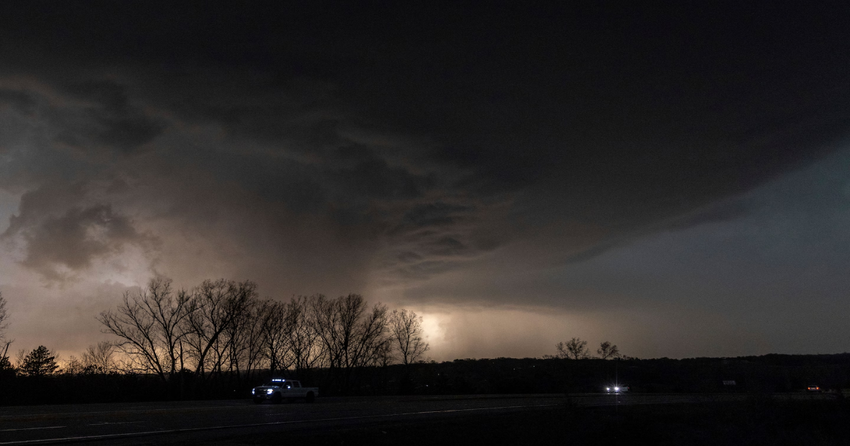
The Storm Prediction Center warned that the most dangerous tornado period is probably the late afternoon and evening.
Batches of thunderstorms in the Dakotas and Minnesota early Monday will help add some uncertainty to the mix by possibly slowing the surge of warm air northward in the region, but a large warm sector of deep moisture is already present to the south.
Powerful low pressure tracking toward Lake Superior will kick off new rounds of thunderstorms by early afternoon in the vicinity of the Missouri River in Iowa and the South Dakota to Minnesota border region to the north. Given a combination of strong lift with the approaching jet stream dip and the plentiful low-level moisture, storms may explosively develop while driving eastward.
How quickly storms evolve into a line heading through the afternoon and into the night may make or break some of the highest-end tornado possibilities in the Level 4 of 5 risk zone.
If storms remain somewhat discrete, odds of powerful tornadoes will be higher. The best chances for that may be across parts of Iowa into southern Minnesota and right around the warm front.
Closer to sunset, isolated supercells in the southern Plains could spit out tornadoes too.
Thunderstorms threaten an area including Kansas City, Wichita, Oklahoma City and southward to Abilene and Midland in Texas. Western Oklahoma may be a hot spot for a strong tornado in this area.
As the cold front progresses further eastward, severe storms will follow, probably stretching from New York to Texas on Tuesday.
The Weather Service is focusing the highest odds of big storms on a belt from eastern Ohio to western New York. The southern Plains may also be another hot spot for intense activity as a secondary low-pressure area develops along the front in that region.
Both regions could see large hail.
Still draped across Texas through Wednesday, the frontal zone will then be associated with a heightened threat of severe weather perhaps targeting the Dallas-Fort Worth region.
And with potential for repeated rounds of storms across the southern Plains, Level 3 (of 4) flood concerns extend from northwest Texas to southwest Missouri on Tuesday and the Oklahoma/Arkansas border region Wednesday, according to forecasters at the Weather Prediction Center.
A widespread 2- to 4-plus inches of rain is forecast in much of Oklahoma, north Texas, western Arkansas, southwest Missouri and southeast Kansas through Thursday night.
Despite a mid-month lull in organized severe storm activity, April will end up another above-average tornado month in what is, so far, a busy year for twisters across the country.
The tornado count is probably several dozen above the 190-touchdown average for the month, but additional numbers will probably be added to the tally. It could end up within the top 5 counts for the month of April.
Last month’s tornado activity was a near-record high for March. And the pattern supporting activity last month largely helped produce the active spells in April.
At least 668 reports of tornadoes have been logged by the Storm Prediction Center, with more than 500 confirmed through surveys. It’s the most active year to date since 2011, when multiple major outbreaks occurred through May.
Uncertainty remains on how the weather pattern will shape storm activity, but it seems that additional dips in the jet stream could progress through the western and southwestern reaches of the Lower 48 in the wake of the current storm system.